Storm leaves wind, hail damage to homes, crops across state
Powers Lake area hit hard
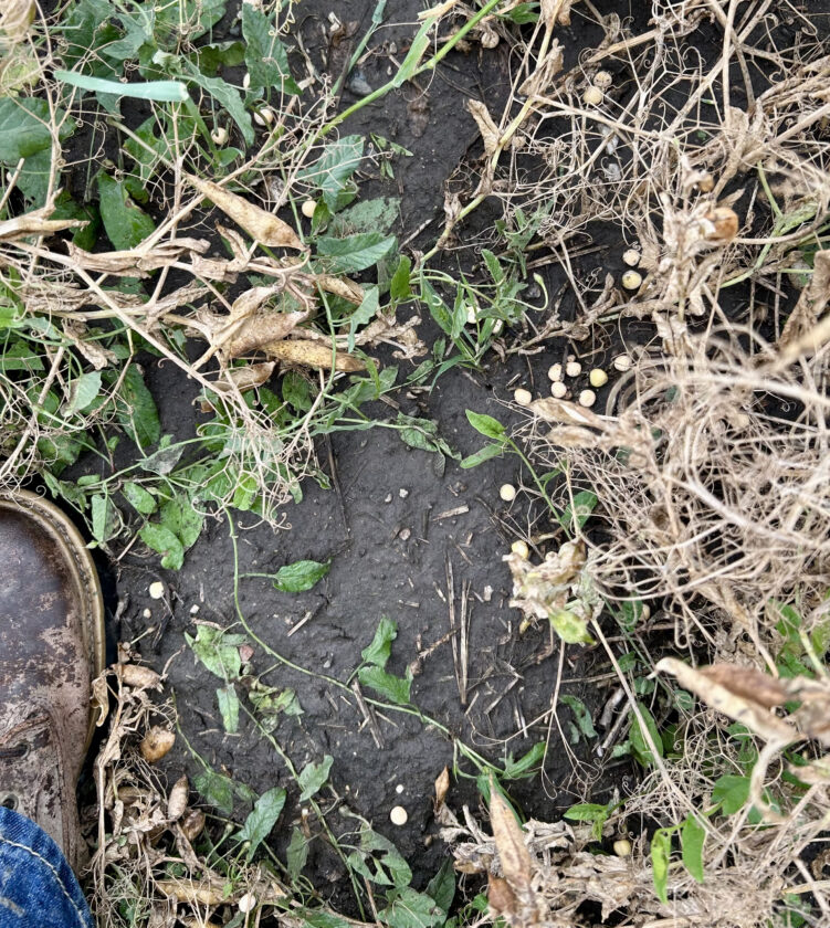
Submitted Photo A pea crop was damaged in a hail storm in the Powers Lake area Thursday, Aug. 7. Photo by Lisa Thomas.
POWERS LAKE – Golf ball-sized hail and strong winds left a number of Powers Lake and area homes damaged and crops destroyed in a Thursday night, Aug. 7, storm described by the National Weather Service as widespread in North Dakota.
Lisa Thomas, who lives just north of Powers Lake and sustained some damage to her house, said hail damage occurred north and south of town in an area about three miles wide as well as both west and east of town, extending several miles, based on early information on the storm’s path.
The storm came with about 60 mile per hour winds.
“A lot of the west sides of the houses have golf ball to fist size holes in the siding,” Thomas said. “The lentils around here look like they’re ruined, destroyed, and peas got hit really hard. A lot of farmers were just getting going on peas or just starting to get ready to go on peas.”
Additionally, there are many trees down in the aftermath, she said.
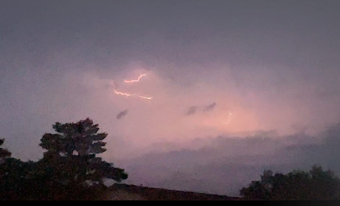
Mandy N Taniguchi/MDN Storms rolled through Minot and surrounding areas on Thursday, Aug. 7, giving everyone a light show.
The storm blew through between about 8:20-9 p.m.
“I’ve never seen anything like it. When it came down it was like milk. The visibility was like a snowstorm,” Thomas said. She said she also recorded about 2.5 inches of rain at her home.
Storm chaser Reed Timmer, who was in Powers Lake at the time and captured images during the storm, identified the hail as up to tennis ball size on his social media.
Also in Burke County, Bowbells was reported to have experienced overland flooding from heavy rain. The Bowbells Fire Department posted on social media that it was pumping water from an intersection.
The National Weather Service in Bismarck reported 3 inches of rain south of Powers Lake. It also reported 62 mph wind at the Minot airport, with 1.3 inches of rain north of the city and 1.4 inches 10 miles south of town.
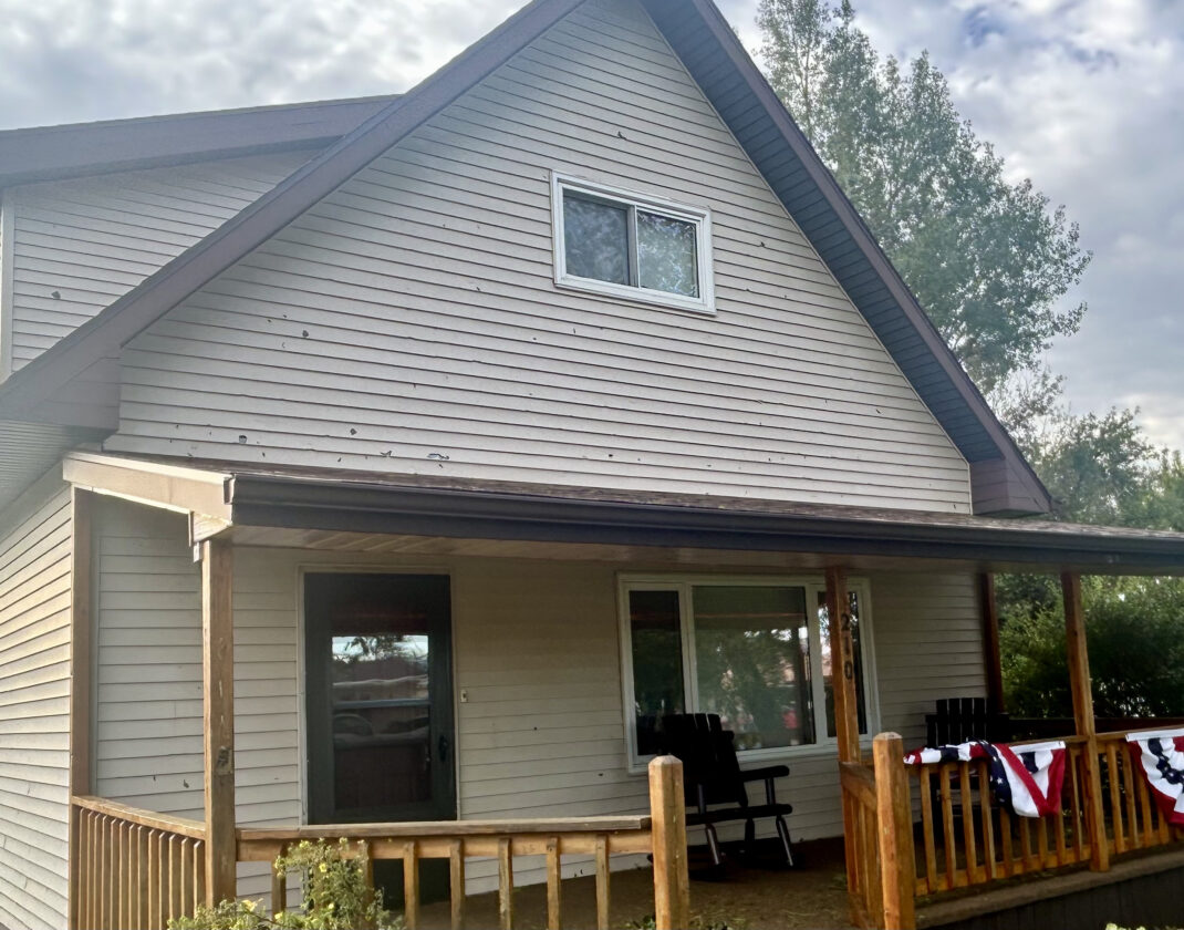
Submitted Photo A house shows patches of hail damage from a storm that came through Powers Lake the evening Thursday, Aug. 7. Photo by Lisa Thomas.
Stanley had 2.45 inches; Harvey, 2.4 inches; and Anamoose, 2.36 inches.
“Many places received heavy rain from the system as it moved through,” meteorologist Jeff Schild said. “Widespread winds of 60 to 80 mph swept through the area.”
One of the hardest hit areas was around Jamestown, where wind damaged buildings and downed trees. A tornado warning had been in place for Foster and Stutsman counties as well as for the Maxbass area in Bottineau County. Schild said storm damage is being evaluated to determine whether any possible tornadoes touched down.
-
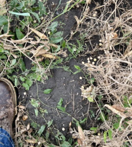
- Submitted Photo A pea crop was damaged in a hail storm in the Powers Lake area Thursday, Aug. 7. Photo by Lisa Thomas.
-
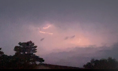
- Mandy N Taniguchi/MDN Storms rolled through Minot and surrounding areas on Thursday, Aug. 7, giving everyone a light show.
-

- Submitted Photo A house shows patches of hail damage from a storm that came through Powers Lake the evening Thursday, Aug. 7. Photo by Lisa Thomas.
Local News
Military Gallery construction begins at ND Heritage Center
BISMARCK — Construction has started on a 70,000-square-foot expansion at the North Dakota Heritage Center and ...
Suspected overdose death leads to 13 people charged
NEW TOWN – Thirteen individuals have been arrested as the result of an investigation prompted by a suspected ...

Lansford broker elected to 3-year term on NDCF board
CyberTip leads to arrest in Minot
A search warrant executed Thursday, Aug. 7, following a CyberTip investigation, led to the arrest of a 35-year-old ...
Death reported at Ward County Detention Center
A 62-year-old male found unresponsive at the Ward County Detention Center on Friday, Aug. 8, has died, according to ...